Nitinat Lake is a long tidal inlet deep in the Vancouver Island forest, where a reliable summer thermal has drawn kiters and windsurfers from around the world to the end of a logging road.
What brings people here, from the people who manage it and the people who ride it.
The wind is a thermal, mostly sideshore, typically 12 to 25 knots. The season runs from about April to September, with the most frequent wind in June, July and August.
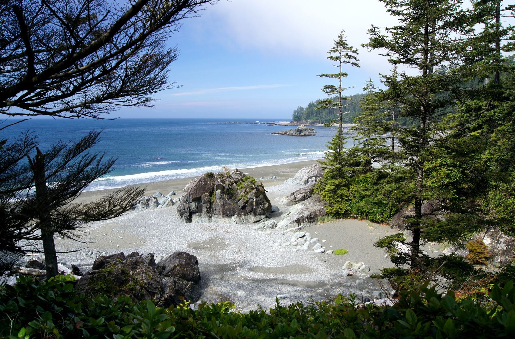
There is one launch along a long rocky shoreline. Beginners set up on the upwind side near the Elevation Kiteboarding base; independent riders launch upwind of the large tree stump, which casts a wind shadow.
The water ranges from semi-flat to large chop. A 3/2 wetsuit suits most summer riders.
Local governments and environmental agencies set the terms. The chapter works with them, not around them.
The Nitinaht Lake Campground has been run by the Ditidaht people since 2006. Sites cost about $20 CAD per night per vehicle and are first come, first served.
Riders launch toward the water, never toward the trees, and keep lines wrapped when not launching or landing. Check fire restrictions before lighting a fire.
Protected lagoons, wetlands and the species that depend on them. Stewardship days keep launches clean inside the protected zones.
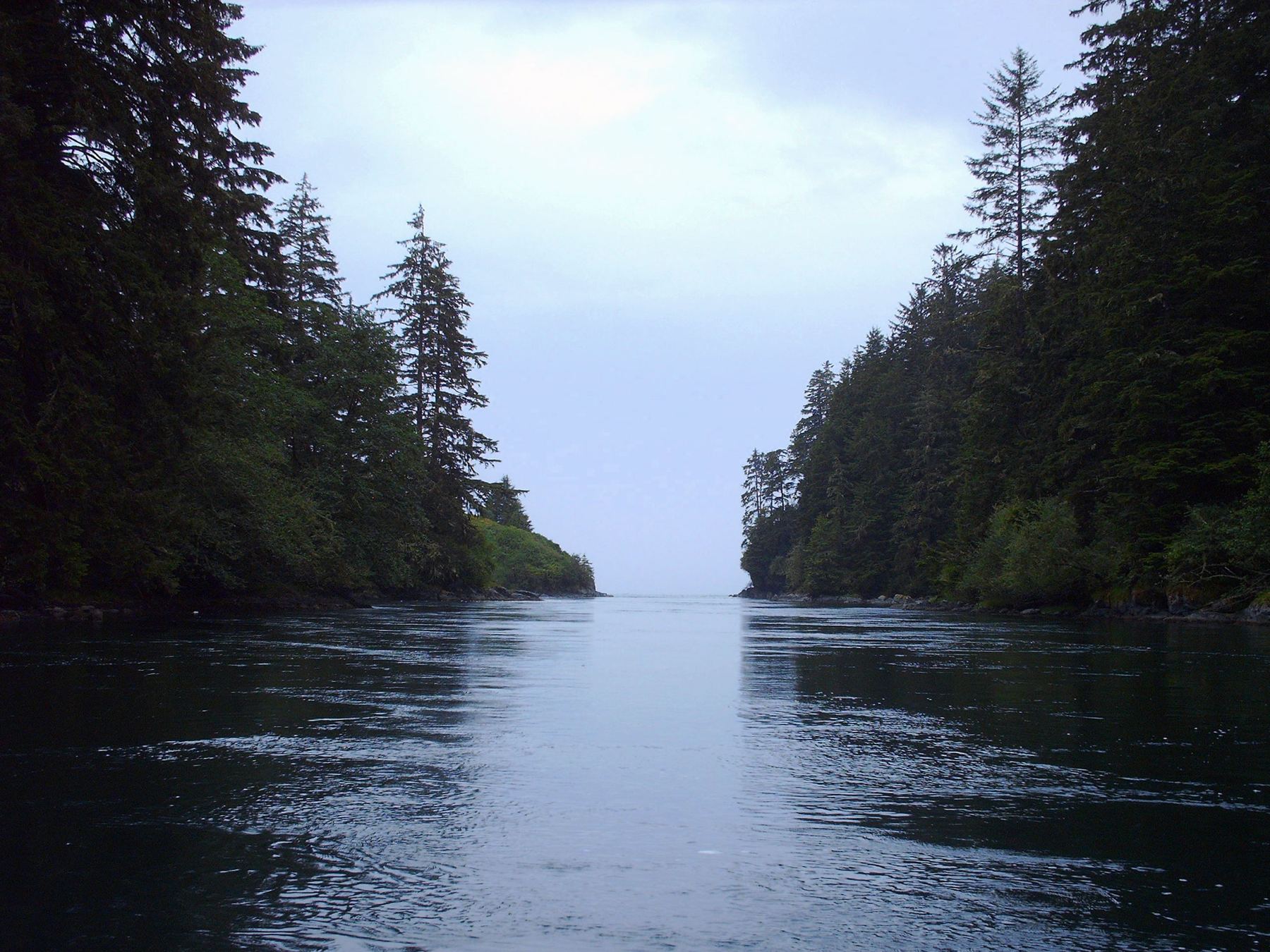
Most of the lake's volume is salt water, with a thin layer of fresh water on top. Tidal bores travel up through the 3 km Nitinat Narrows and can be dangerous.
Carmanah Walbran Provincial Park lies on the eastern shore, and the Nitinat Lake Ecological Reserve sits on the shore about a third of the way from the north end. Bears and deer are common around camp.
Nitinat Lake is on the west coast of Vancouver Island. It drains into the Pacific through the Nitinat Narrows, just north of the entrance to the Strait of Juan de Fuca, and its southern end lies in Pacific Rim National Park Reserve.
From Victoria or the Nanaimo ferry it is about 2.5 to 3 hours by car, roughly half of it on old logging roads. Riders head for the Ditidaht First Nation Visitor Centre and the Nitinaht Lake Campground.
The campground has outhouses and a water pump but no power or running water. Coin showers, a store and a cafe are at the motel by the visitor centre.
Razor-sharp barnacles cover the shoreline rocks, so wear booties. There is no cell service or nearby hospital, so bring first aid supplies and a tire repair kit.
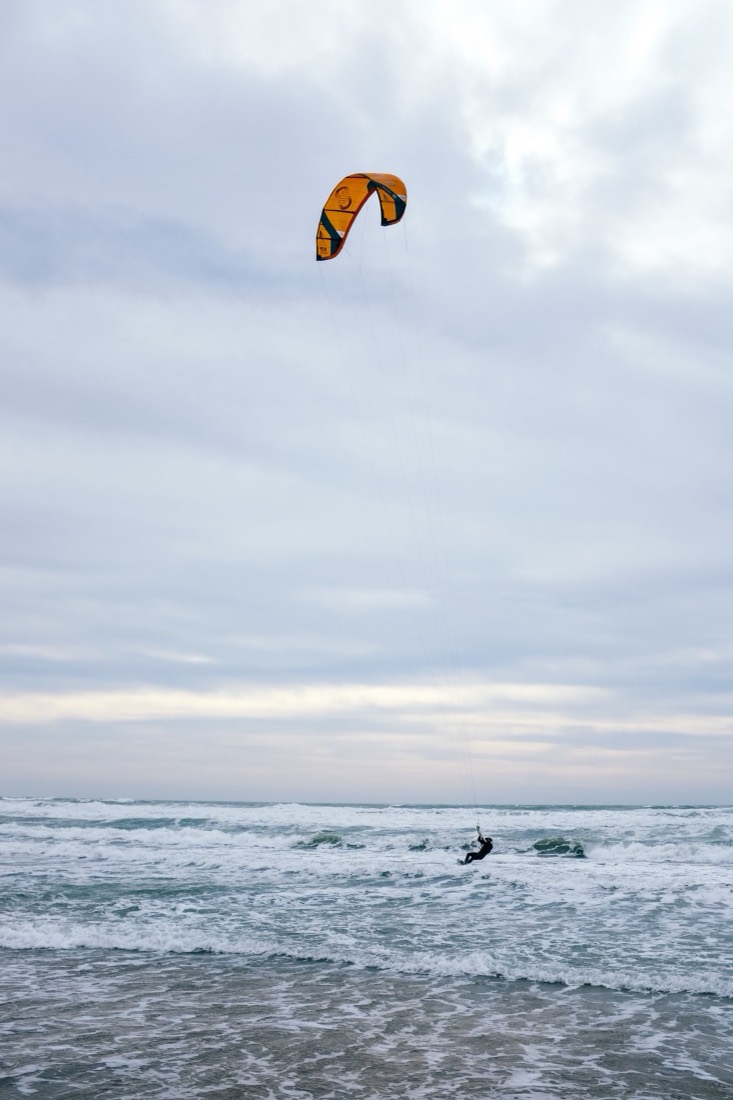
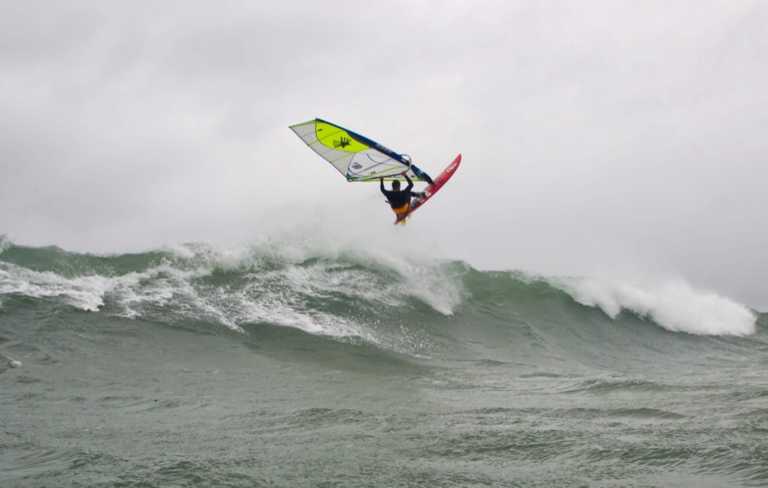
On clear summer days, heat builds over the forest and pulls wind up Nitinat Lake from the Pacific. The thermal is consistent enough that riders drive hours on gravel to camp beside it, and the lake has a worldwide reputation among kiters and windsurfers.
The launch is on Ditidaht land. Since 2006 the Ditidaht people have run the campground where riders set up, and the riding exists because of that relationship. The shoreline is rocky and tree-lined, the lake is remote, and there is no cell service or hospital nearby.
A chapter gives riders a way to show up as good guests: respecting the people whose land it is, keeping the launch safe and clean, and supporting the camp and the schools that make the spot work.
EElevation KiteboardingLocal school teaching on this waterWWSThe chapterHolds the line on access: one standing voice with whoever manages the launch.WWSThe chapterRuns stewardship days, so the people who manage the beach see riders as an asset.WWSThe chapterRuns sponsored certification weekends, so riders are trained and self-policing.EElevation KiteboardingLocal school teaching on this waterWWSThe chapterHolds the line on access: one standing voice with whoever manages the launch.WWSThe chapterRuns stewardship days, so the people who manage the beach see riders as an asset.WWSThe chapterRuns sponsored certification weekends, so riders are trained and self-policing.
iSportsKite, WingiWind spotBC - NitinatiKnow thisNitinat Lake, on the west coast of Vancouver Island, British Columbia, reached by logging roads.iKnow thisThermal sideshore wind, April to September, strongest June to August.iKnow thisRiders launch from the Ditidaht-run Nitinaht Lake Campground; first come, first served.iSportsKite, WingiWind spotBC - NitinatiKnow thisNitinat Lake, on the west coast of Vancouver Island, British Columbia, reached by logging roads.iKnow thisThermal sideshore wind, April to September, strongest June to August.iKnow thisRiders launch from the Ditidaht-run Nitinaht Lake Campground; first come, first served.
Your gift keeps the chapter running and the beach cared for: cleanup supplies, signage, certification weekends and the costs of being the group the park can call.

 Title sponsor openCabarete
 Title sponsor openCrandon Park
 Title sponsor openCumbuco
 Title sponsor openCurry Hammock
 Title sponsor openDakhla
 Title sponsor openHood River
 Title sponsor openTarifa
 Flagship chapterBlouberg, Cape Town
 Flagship chapterCape Hatteras
 Flagship chapterEl Gouna
 Flagship chapterJericoacoara
 Flagship chapterKanaha, Maui
 Flagship chapterLa Ventana
 Flagship chapterLe Morne
 Title sponsor openBig Pine Key
 Title sponsor openCancún
 Title sponsor openPuro Miami
 EuropeAlaçatı
 EuropeBrouwersdam
 Great LakesCleveland
 Gulf CoastCorpus Christi
 EuropeCosta Teguise
 US West CoastCrissy Field